If we were water vapor… we could float with the clouds.

20170724_160649

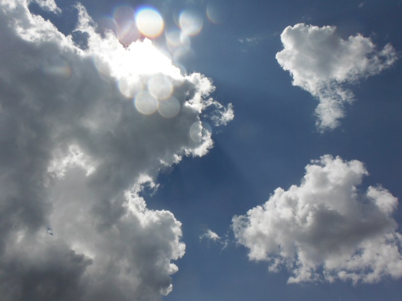
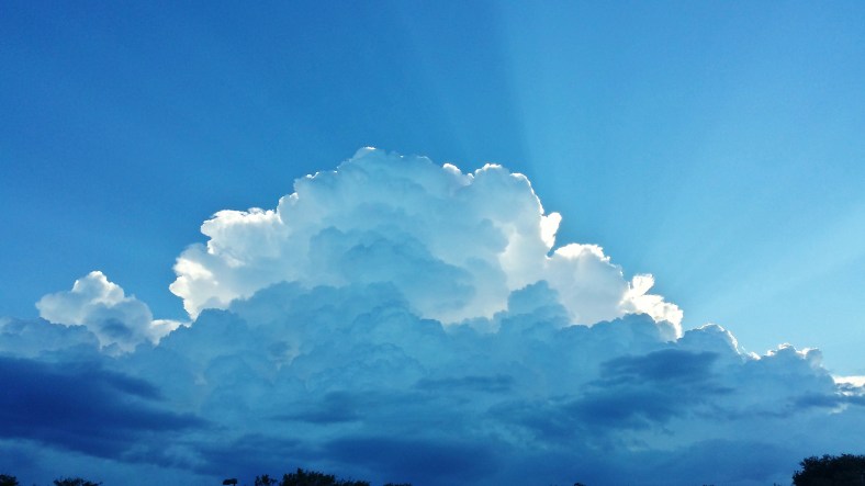
Cumulus congestus – Towering cumulus.

20170724_160655

20170724_160711

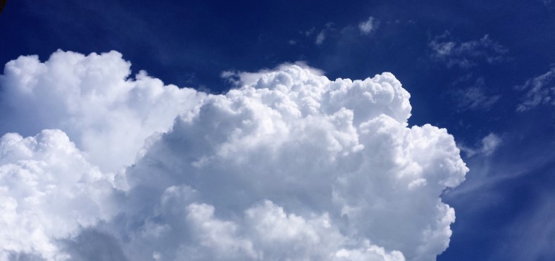
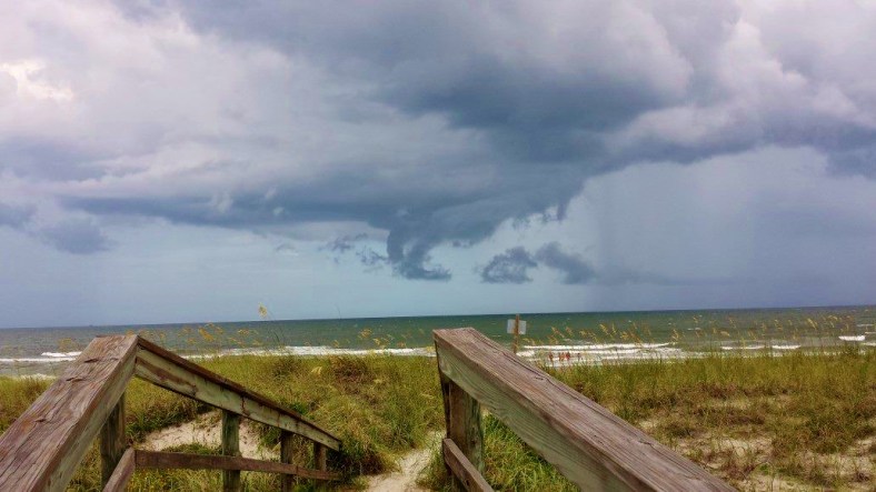
Cumulus congestus to cumulonimbus.

20170724_160858

Cumulonimbus approaching the troposphere (fuzzy top).

Within a 5 minute period, these cumulus cloud clusters transitioned to towering cumulus (cumulus congestus) and then grew into a large cumulonimbus cloud mass that produced lightning and rain. They formed so quickly that they dissipated within another 10 minutes.

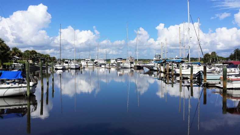
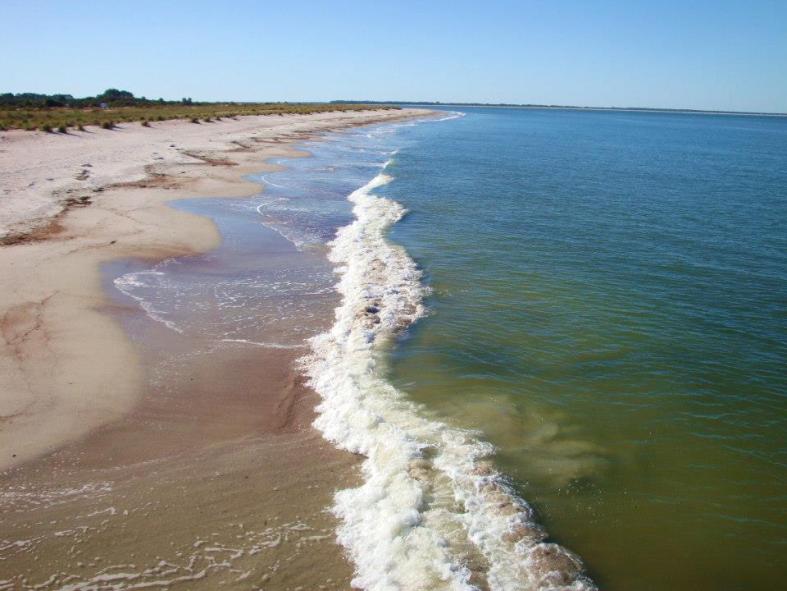
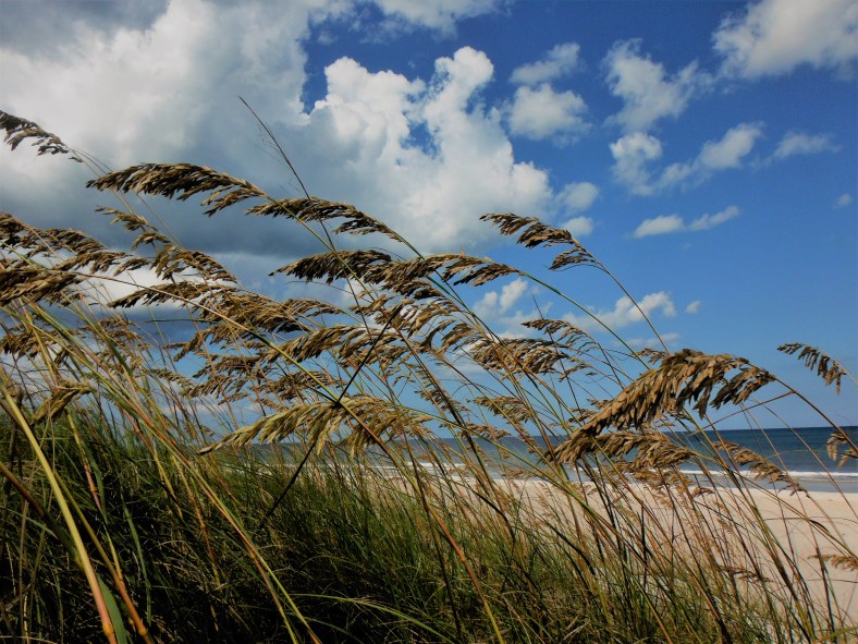
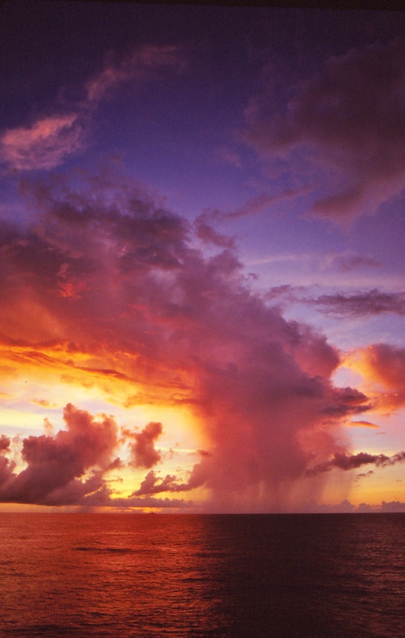
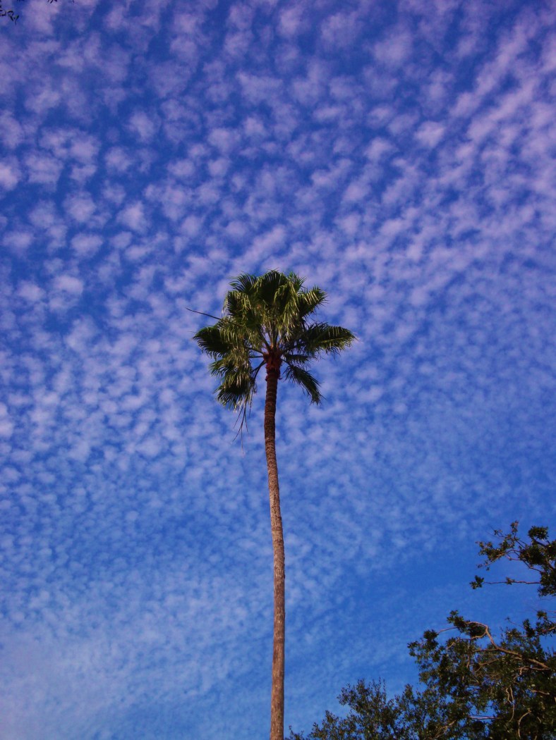
Florida Atlantic coast – mid afternoon – 7.24.2017

Chris

Mammatus Clouds

Some mammatus clouds associated with a cumulonimbus cloud (thunderstorm). As seen in south central Florida during a moderate thunderstorm. No reports of tornadic activity and lightning strikes were only occasional. Since this was observed in late March, the freezing level was probably around 12,000 feet or so. Lightning normally occurs whenever the top of a cumulonimbus cloud reaches at least 10,000 feet above the freezing level. So the top of this cell was around 22,000 to 25,000 feet – not likely a severe weather event producer as it was nearly stationary and not associated with a front. Contrast that with the atmosphere during the summer – a thunderstorm cell in this area would reach 50,000 feet or more and be more likely to produce severe weather.

20170323_125925

Camera: Samsung Galaxy S4

Chris

Winter departs… Spring will pass quickly… Summer stays & sizzles

We enjoy our all too short Winter… the sky is bright blue and often cloudless. The humidity is bearable for once. Spring – one of the nicest seasons – departs quickly as the Summer sun returns north of the equator. The unrelenting heat drives us to seek water and shade. Boats and beaches – sea breezes and cool drinks – air conditioning and thoughts of the mountains. But Summer is our favorite season – it has to be – it seems to never give up or go away.

It’s also a favorite time to enjoy photography. The colors are amazing and if you’re lucky, the day will end with a cooling thunderstorm – light show included!

Bring on the Summer!

15323441916_cc1db02538_o

14947105189_219f3e09e3_o

15322578713_3704a0649c_o

23533239780_fd03db8dae_o

28552911326_ae5385bd93_o

20130809_105331

20130818_171418

20130818_171455

31639073483_3891944971_o

Supporting cast: Fujifilm FinePix XP100, Sony Cyber-shot W170, Samsung Galaxy S4

Thanks for stopping by! Enjoy your summer!

Chris

East China Sea Sunrise

Sunrise and showers as viewed from the flight deck of the aircraft carrier USS Midway (CV-41) while conducting flight ops in the East China Sea in late 1979. Sometimes, the loneliness of life at sea can be rewarded – however briefly. Standing there in the predawn hours waiting for the tropical night to end – a dissipating rain shower on the horizon adds a bit of drama to the sunrise and the photographers night is done.

19620387043_ef82cf12c7_o

The sun touches the clouds and the tropical shower has all but dissipated. A distant ship (part of our Task Group) can be seen on the horizon’s center.

19620306703_5f100c62ca_o

Flight Deck personnel clean their aircraft for the days activities. US Navy Sea King helicopter (on the right) from HC-1 and a F-4J Phantom jet awaits its next sortie.

20241337685_a21d496ba1_o

The cumulonimbus cloud drops its precipitation into the warm sea.

Camera: Canon F-1 (1978 version) with Canon FD 24mm f2.8 lens on Kodak Kodachrome.

Thanks for your visit.

Chris

Cirrocumulus

Not a common sight to see across Florida skies. Cirrocumulus (Cc) clouds are normally found above 25,000 feet (Florida). These were actually higher than nearby condensation trails left by high flying jets. Seen in early October.

Flying high above Walt Disney World…

15464137742_d51180f256_o

Camera: Sony Cyber-shot DSC-W170

Thanks for your visit.

C&C

Altocumulus Clouds… super cool!

20170127_163408

Altocumulus (Ac) clouds progressively invading the sky. Real meteorological definition. Not often seen this dramatically in Florida. The late winter sun was at just the right angle which made for some interesting lighting. Typically these clouds would be about 6,000 feet above the ground this time of year and they are found in what is called the middle etage (Mid 5) of the atmosphere. There were no cirrus clouds above which added to the drama of the lighting.

Now a bit of fun with the clouds…

20170127_163337

Thanks for your visit! Comments are always welcome.

Camera: Samsung Galaxy S4

Chris ^.^