Fort Clinch State Park – Florida

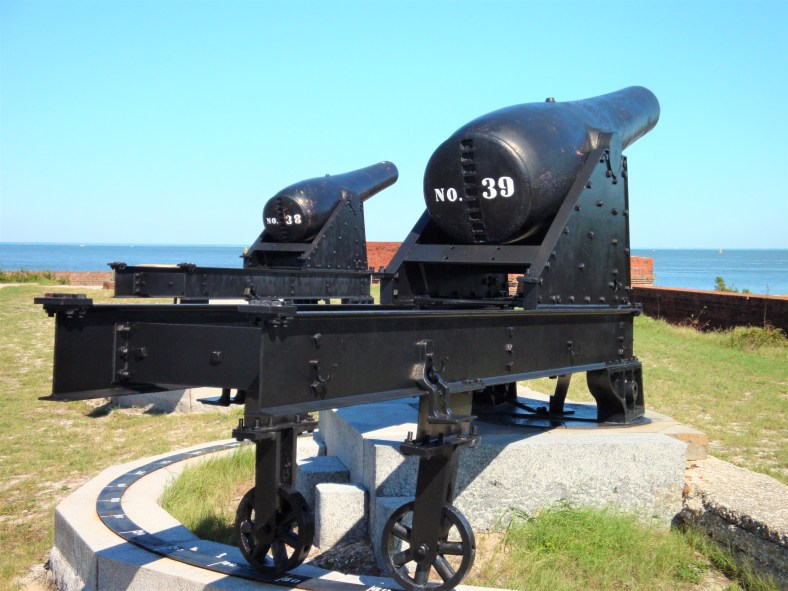
Fort Clinch State Park is a beautiful 1,400 acre park on the extreme northeastern tip of Amelia Island. The fort makes up only one small part of this diverse and ecologically important park – here the old Florida can be appreciated for its tall sand dunes covered with a coastal maritime forest. More can be found https://www.floridastateparks.org/park/Fort-Clinch

DSC02634

DSC02635

DSC02636

DSC02637

DSC02639

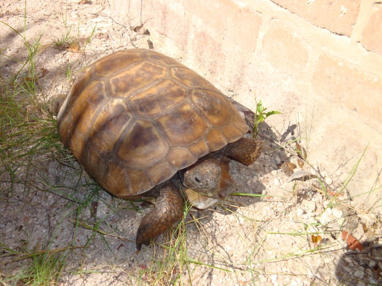
Beautiful gopher tortoises roam the dunes at will. Here this one was at the base of one of the fort’s brick walls.

DSC02643

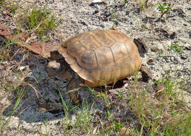
Beautiful animals and fun to watch.

DSC02647

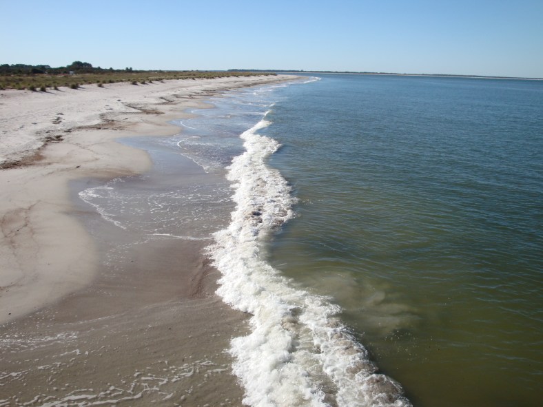
Along the Atlantic Ocean coast of the park.

DSC02650

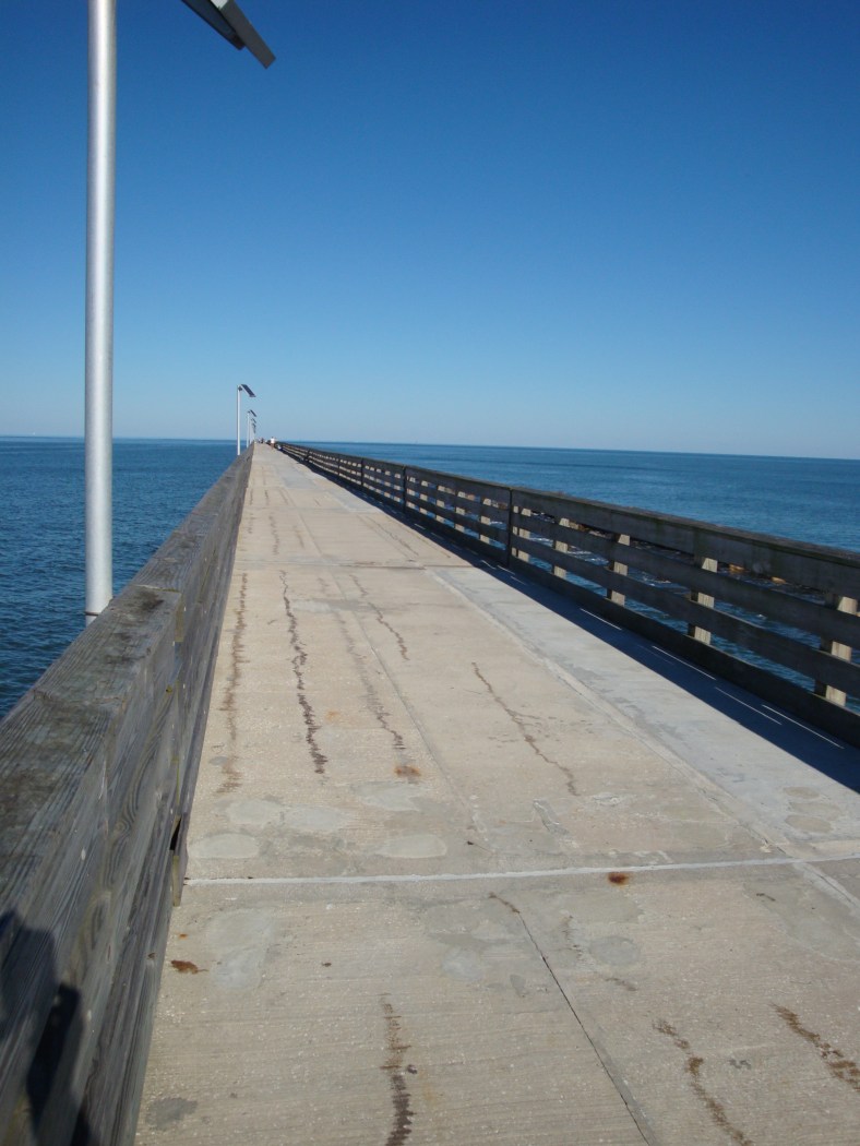
Half mile walking and fishing pier – severely damaged by Hurricane Matthew last October 7, 2016.

DSC02658

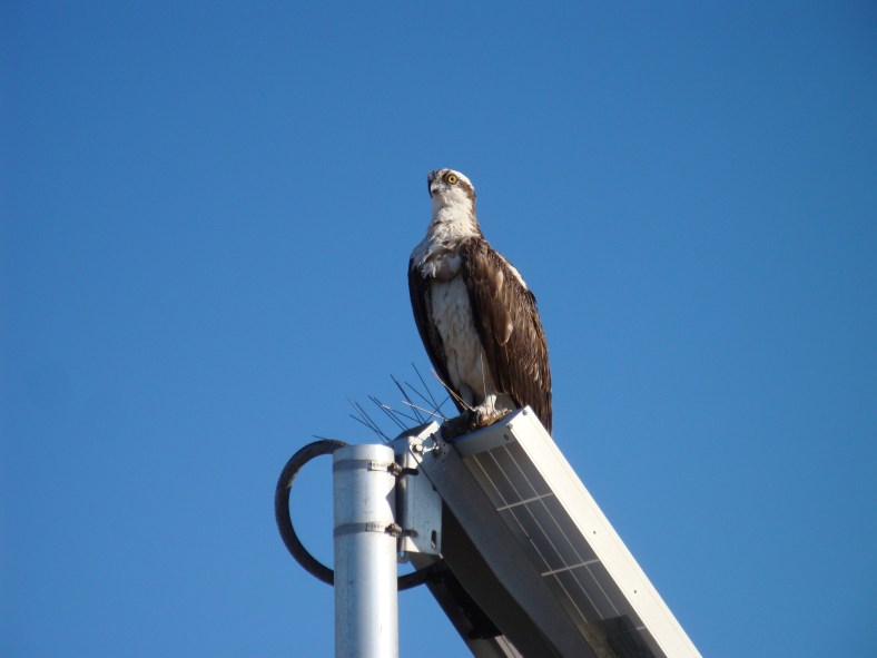
Osprey keeping a watchful eye on me and the ocean.

DSC02651

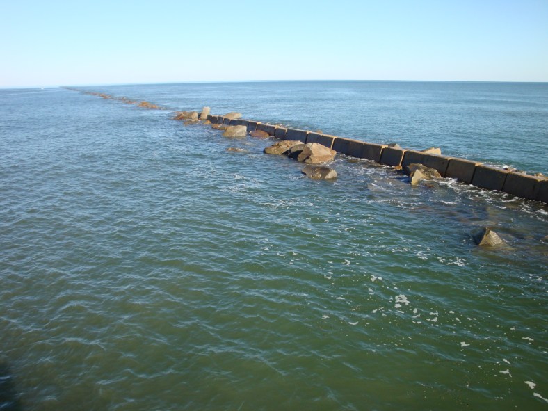
At the end of the fishing pier. A jetty continues out farther into the ocean. It’s a great place to do some wave watching and capturing some great cloud formations.

It’s well worth your time to visit the park – between the ocean access and the St. Marys river access is a wonderful coastal forest and of course, the fort.

Thanks for your visit!

Camera: Sony Cyber-shot DSC-W170

Chris & Carol

Forgotten and faded Florida…

U.S. Highway 17 was the way to enter Northeast coastal Florida in days past – long before I-95 was even imagined. If you came down from the North in the late 1940s, you entered Florida over a way too narrow bridge over the St. Marys River – the official boundary between Georgia and Florida. The two lane road was well traveled and one of the last cities you would pass through before the bridge was Kingsland, Georgia… just a few miles north of the river. The next city wasn’t until you reached Jacksonville, Florida – a long way south. You can’t really count the in-between hamlets of Yulee and Oceanway – they were home to flashing lights just to make you slow down a bit.

To be the first attraction – or motel – or restaurant – or bar – or whatever along this busy corridor meant something I imagine. Where would the tourists stop to take a picture or pause to, you know, rest? Highway 17 was the bomb – it was the way south. Then I-95 came and it was over in a hurry.

What’s left of the Florida firsts?

20161202_144524_richtonehdr

U.S. Highway 17 bridge over the St. Marys River. Looking north into Georgia – this would have been your first step on dry land that was Florida.

After your safe passage over this way too narrow bridge, you would be treated with your first photo op…

20161202_145237

Everybody stops to get their picture taken in Florida! What better place then this sign… and with palm trees too! This is the sign along U.S. 17 a little south of the border.

20161202_145148_richtonehdr

Gotta have a plaque to dedicate the sign.

All that’s left of some of the ‘firsts‘…

20161202_145750_richtonehdr

‘Souvenirs’ and ‘Whiskey’.

20161202_145848_richtonehdr

Nothing left to buy here except more time I suppose.

20161202_145921_richtonehdr

More than a few tourists walked through this door… come in please.

20161202_150038

Faded Florida.

20161202_150212

Last one out.

A wonderful place to explore… that first half mile of faded Florida along Highway 17. Many more opportunities to be sure. It was the first motel in now forgotten Florida. The people are elsewhere but the photo ops remain.

Thanks for your visit. As always your comments are appreciated.

You can also visit me at https://www.flickr.com/photos/127540935@N08/

Chris

One last shot – a modern I-95 Florida welcome.

2013-08-09-10-17-26