Tropical Storm Force Winds – Irma

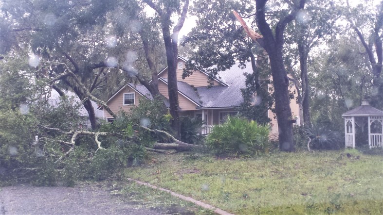
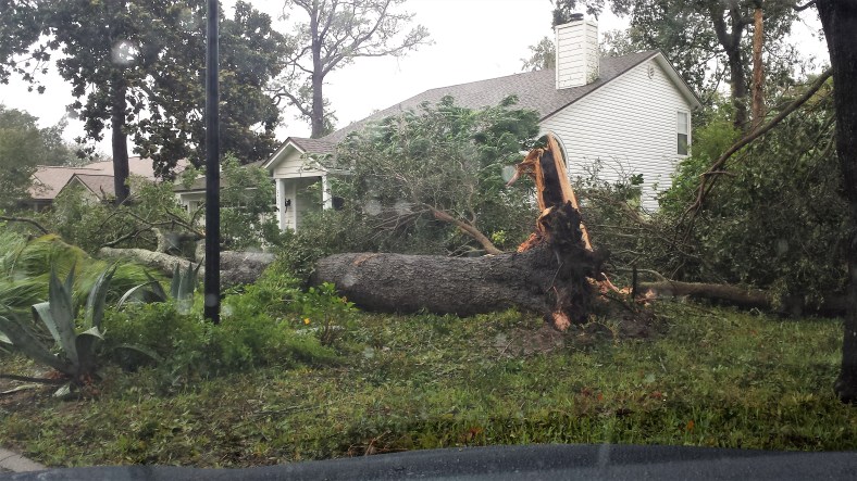
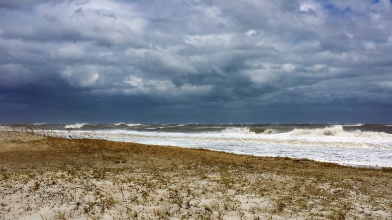
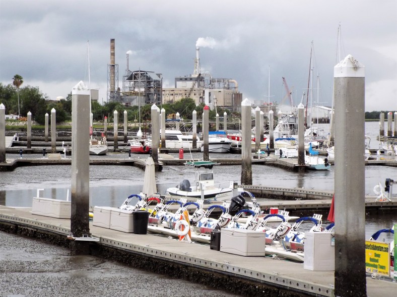
Here’s a small sample of what it was like here in extreme Northeast Florida on the morning of  September 11, 2017 as TS Irma (downgraded from hurricane at that time) made its way northward across the north central part of the state well west of Amelia Island. 

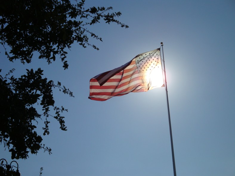
The winds were east-southeasterly at about 40 mph sustained with gusts into the 60-70 mph range when this video was taken at 8 AM. The oak in the video is about 60 feet tall and nearly 80 feet across. It held up nicely in the relentless winds. Check out the 20 foot tall flagpole – it did well too.

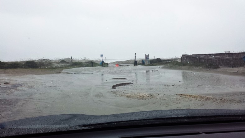
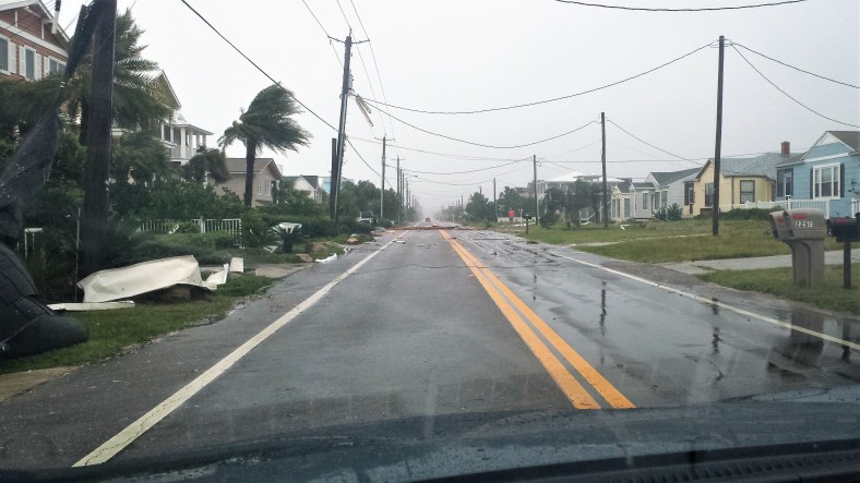
The flooding in the street was from the heavy rainfall and blocked storm drains and not from storm surge. Once the drains were cleared the water was gone.

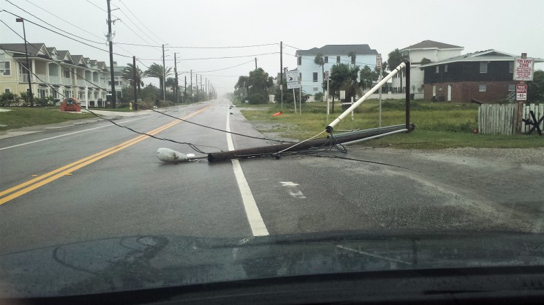
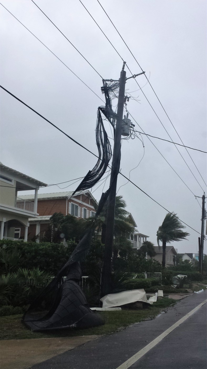
A big shout out goes to the fearless linemen from Illinois that worked to restore our power… which was out for only 61 hours! Considering how much damage there was that was a remarkably short period of time. At one point in the repair work near our neighborhood, dozens of linemen were using five power company bucket trucks to string new wires and set new poles. Thank you!!!

Chris

Irma Damage

Almost everywhere in Florida was affected by Hurricane Irma – some more directly than others and of course some suffered a complete loss of their homes, businesses, cars and lives. The difficult journey of recovering from the damage and destruction will be a long one and some will just give up and go.

Our corner of Northeast Florida (our little island) for the most part did pretty well considering where we are located. Closer to home, our neighborhood had damage but the homes came through. We lost our power for 61 hours – a small time really compared to what others will see.

These pictures are from around 8 AM or so on Monday morning (9-11-2017) – the winds were still gusting into the high 60 mph range with some gusts to near 90 mph in the predawn hours.

20170911_101502

Neighbors house avoids getting damaged from a rather large oak branch.

20170911_101627

Directly behind our house on another street. This was about a 60 foot oak that blew down and missed the house completely.

20170911_100252

Just outside the neighborhood at the beach. Just after the highest water was receding.

20170911_100359

At the beach. Only a few poles came down.

20170911_100615

Some damage along the beach road (above and below).

20170911_100629

20170911_100941

20170911_143239

By the afternoon on Monday, the strongest onshore winds were past but the ocean was still very rough.

The best to all that are suffering through their recoveries from Harvey and Irma.

Chris and Carol

Amelia Island – Eclipse

20170821_143606

At around 2:30 PM local time – 91% coverage. 

This was the most exciting image I was able to get at the “height” of the solar eclipse here in extreme Northeast Florida. It did get darker and with the cloud cover made for some interesting lighting. A steady light rain with some occasional thunderstorms made for excellent viewing.

Oh well.

Eclipse Images

The sky over North Florida was cloudy with a light rain falling. Occasional lightning flashed in the distance – perfect for viewing the eclipse.

So here are my eclipse pics!

Our gorgeous waterfront along the Amelia River west of Amelia Island –

DSCF6079

DSCF6081

DSCF6082

Winsome – Losesome 

DSCF6086

Industrial Ugly

DSCF6089

Fujifilm FinePix S9900W at 900mm – handheld

Hope your eclipse pics were better than mine! (I’m sure they are)

Chris

DSCF6088

At 1200mm

Mysterious Wildcats by Joel Sartore — FLOW ART STATION

Caracal Leopard Cat Canada Lynx clouded leopard African Wildcat Serval Rusty Spotted Cat African Golden Cat Sand Cat Asiatic Wildcat Leopard Cat Jaguarundis Eurasian Lynx Fishing Cat Iberian Lynx Palla’s Cat Marbled Cat Melanistic (black) Asian Golden Cat Margay Genetta maculata Geoffrey’s Cat Flat-Headed Cat Mysterious Wildcats by Joel Sartore In this series for […]

via Mysterious Wildcats by Joel Sartore — FLOW ART STATION

A must see!!! Wonderful photography throughout.

Chris & Carol

If we were water vapor… we could float with the clouds.

20170724_160649

Cumulus congestus – Towering cumulus.

20170724_160655

20170724_160711

Cumulus congestus to cumulonimbus.

20170724_160858

Cumulonimbus approaching the troposphere (fuzzy top).

Within a 5 minute period, these cumulus cloud clusters transitioned to towering cumulus (cumulus congestus) and then grew into a large cumulonimbus cloud mass that produced lightning and rain. They formed so quickly that they dissipated within another 10 minutes.

Florida Atlantic coast – mid afternoon – 7.24.2017

Chris