
An update on Hurricane Dorian as of 11 AM
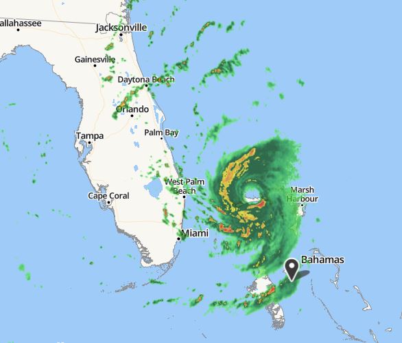
Radar image from Nassau, Bahamas as of 11 AM Tuesday, September 3rd.
Some changes noted since 11 AM yesterday. The eye has expanded but has become a bit ragged as dry air from over Florida has disrupted the appearance of the western eyewall. The precipitation areas have expanded northward and of course, the southern edge of the eye is now north of Grand Bahama Island (barely). The hurricane has also weakened quite a bit from 24 hours ago with the central pressure now at 955 mb up from a low of 910 mb at the height of the storm’s intensity.
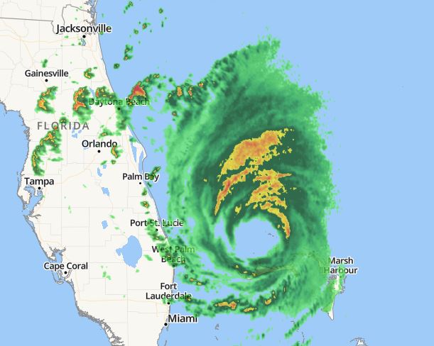
Compared to yesterday’s scan of the radar (see below) the changes are obvious.
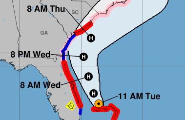
From the NWS National Hurricane Center the 11 AM prediction of the track of Dorian.
Today as of 11 AM
Yesterday as of 11 AM
Things are looking better for the east coast of Florida as the accuracy of the short term forecast track improves with time. Hoping for the best but always prepared for the worst.
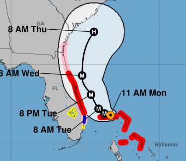
You can view my post about Dorian from yesterday here.
Chris

One thought on “Hurricane Dorian – Sep 3, 2019”